Malta · Town · Northern district · General information
Mosta
Also: Il-Mosta
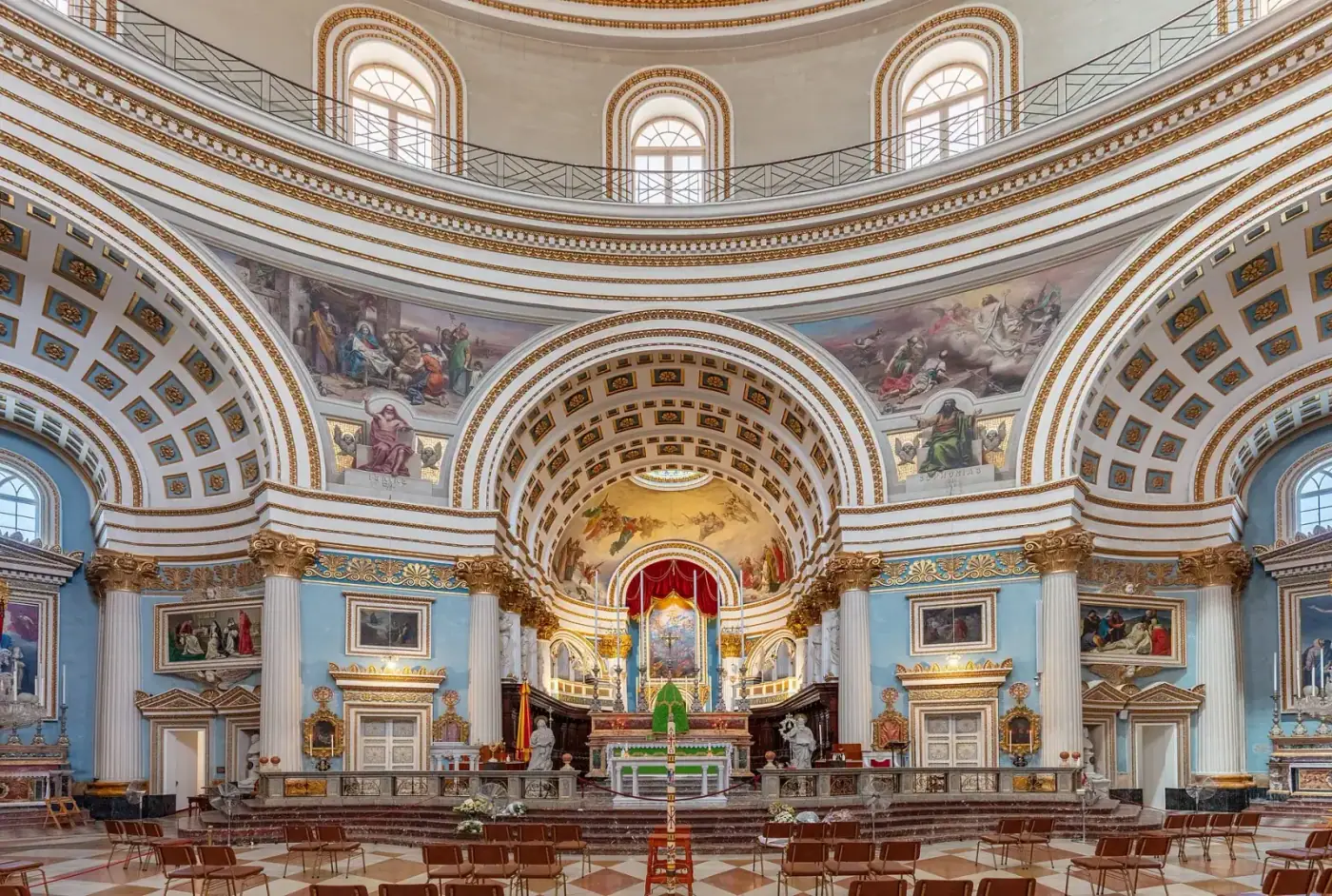
A large central town around the Rotunda, one of Europe's biggest unsupported domes, with a busy commercial centre, a state health centre and good-value family housing.

Mosta is one of Malta's most populous towns, built around the Rotunda of the Assumption (completed 1860s). It is a practical base in the centre of the island: shops, banks, a health centre, schools and the Mosta Technopark, with housing from townhouses in the old core to newer apartment areas.
- Character
- Busy, central and self-contained.
- History
- The Rotunda was built 1833–1860s; a bomb that pierced the dome in 1942 famously failed to explode.
- Amenities
- Health centre, supermarkets, banks, schools, sports complex, technopark.
- Schools & education
- State primary and secondary schools.
- Healthcare
- Mosta health centre (state primary care).
- Transport
- Bus hub for the north and centre.
- Property market (general information)
- Townhouses, maisonettes, apartments and some villas; good value for families.
- MPRP relevance
- Qualifies at the official thresholds.
No current listings in Mosta in the marketplace right now.
Browse all propertiesHeritage and culture
Church
Mosta Rotunda (Basilica of the Assumption)
Mosta · 1833–1860s
A neoclassical church whose dome is among the largest unsupported domes in Europe; a 1942 bomb that pierced the dome without exploding is c…
Services in Mosta
- Mosta
Health centres & clinics · State primary health care centre
Mosta Health Centre
Primary health care centre of the public health service: GP clinics, nursing, and in larger centres out-of-hours and minor-injury services.
- Mosta
Schools · International school (American curriculum)
QSI International School of Malta
Sources & Verification
Verified 1 October 2026 against the sources below- Secondary
OpenStreetMap — place coordinates
OpenStreetMap contributors (ODbL)
Coordinates for localities, beaches and services (approximate, community-maintained)
- Published
- —
- Effective
- —
- Last checked
- 01 Oct 2026
- Status
- Active
Reference: OSMGeneral information