Malta · Region · General information
North Malta
Beaches, countryside and sea views: Mellieħa, St Paul's Bay, Buġibba, Qawra and the Ċirkewwa ferry to Gozo.
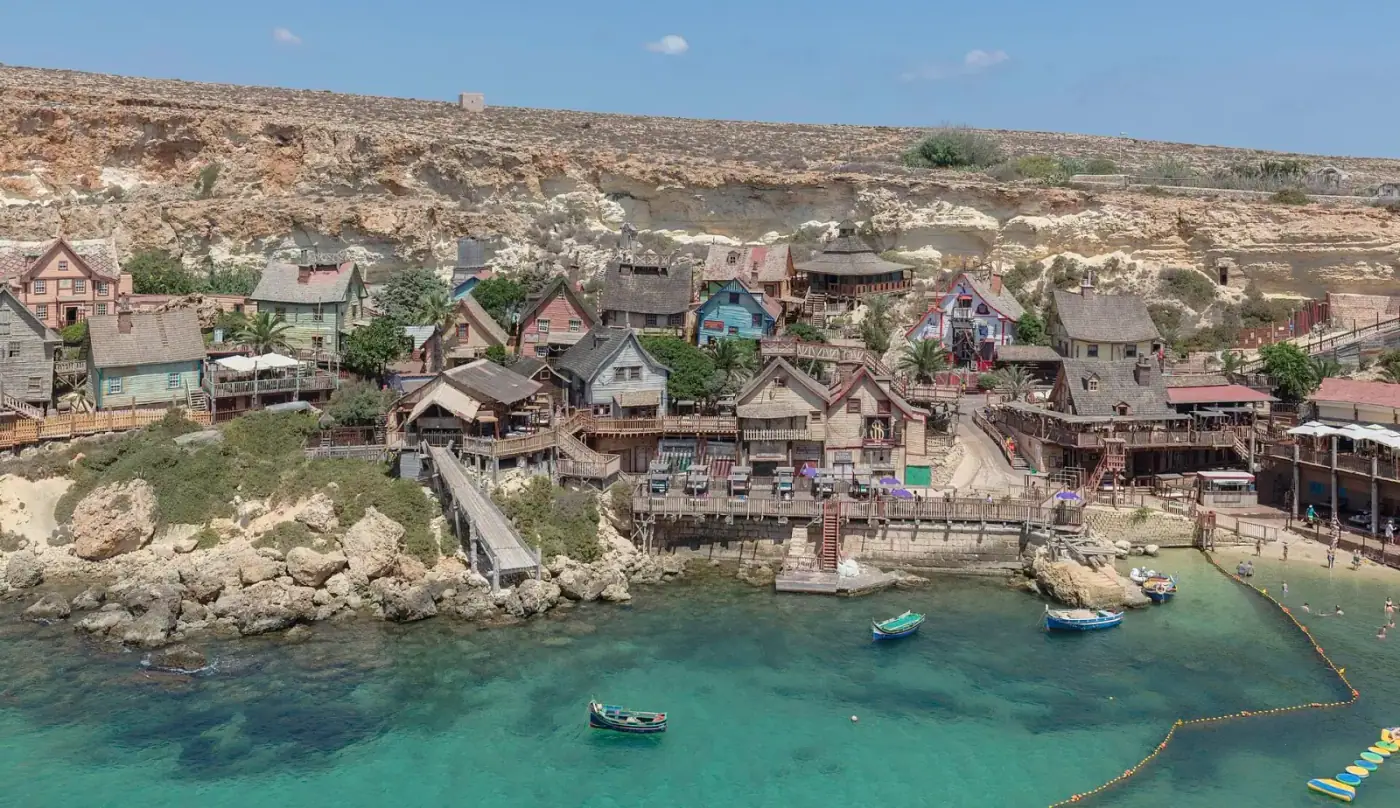
The north is where Malta's sandy beaches are: Għadira (Mellieħa Bay), Golden Bay, Għajn Tuffieħa, Paradise Bay and Armier. St Paul's Bay, Buġibba and Qawra form the largest coastal residential area in the country, while Mellieħa is a hilltop town above the bay. The region is quieter in winter and busy in summer.
- Character
- Coastal, seasonal and family-oriented.
- Lifestyle
- Outdoor, coastal.
- Schools & education
- Local schools.
- Healthcare
- Health centres; hospital 30–40 minutes.
- Transport
- Bus routes to Valletta and the harbour area; Ċirkewwa ferry terminal for Gozo.
- Property market (general information)
- Mainly apartments, many with sea views; villas in Mellieħa and Santa Maria Estate.
- Cost of living
- Moderate (general information).
Sources & Verification
Verified 1 October 2026 against the sources below- EU Institution
Eurostat — Population and demography (demo_pjan, demo_pjanind, demo_gind, demo_r_d3dens, migr_pop1ctz, demo_mlexpec, ilc_lvph01)
Eurostat — European Commission (data transmitted by NSO Malta)
Population on 1 January; population density; crude rates; citizenship; median age; life expectancy; household size
- Published
- 25 Sept 2026
- Effective
- —
- Last checked
- 01 Oct 2026
- Status
- Active
Reference: EUROSTAT-POPGeneral information - Secondary
OpenStreetMap — place coordinates
OpenStreetMap contributors (ODbL)
Coordinates for localities, beaches and services (approximate, community-maintained)
- Published
- —
- Effective
- —
- Last checked
- 01 Oct 2026
- Status
- Active
Reference: OSMGeneral information